Heritage

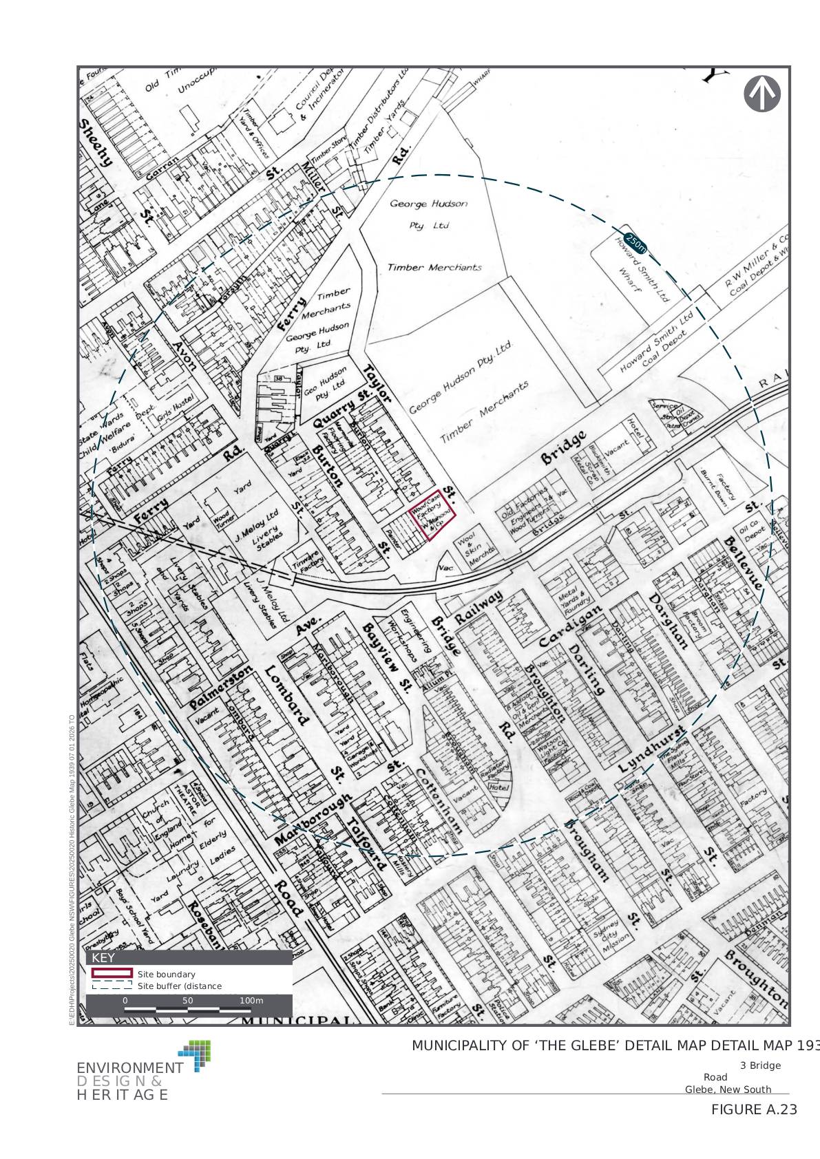
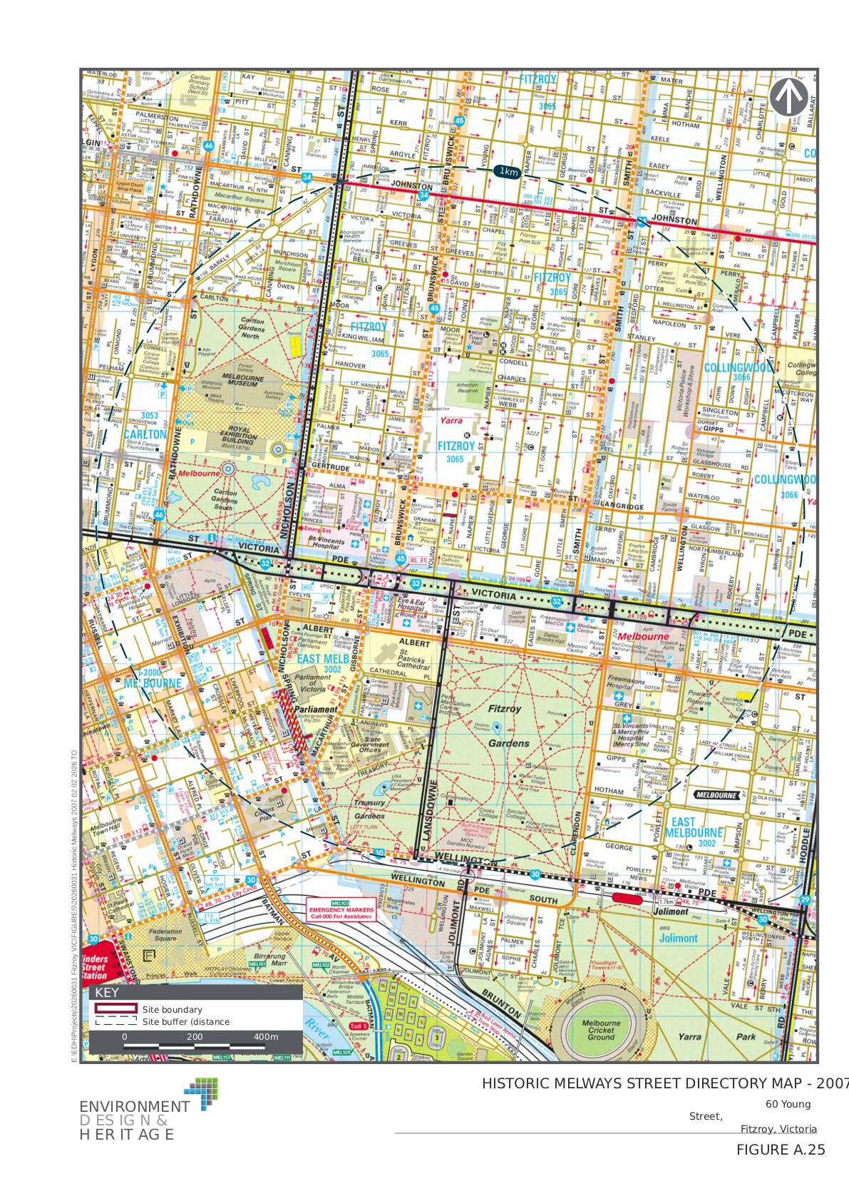
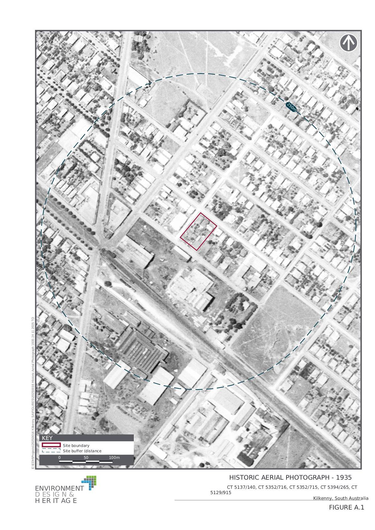
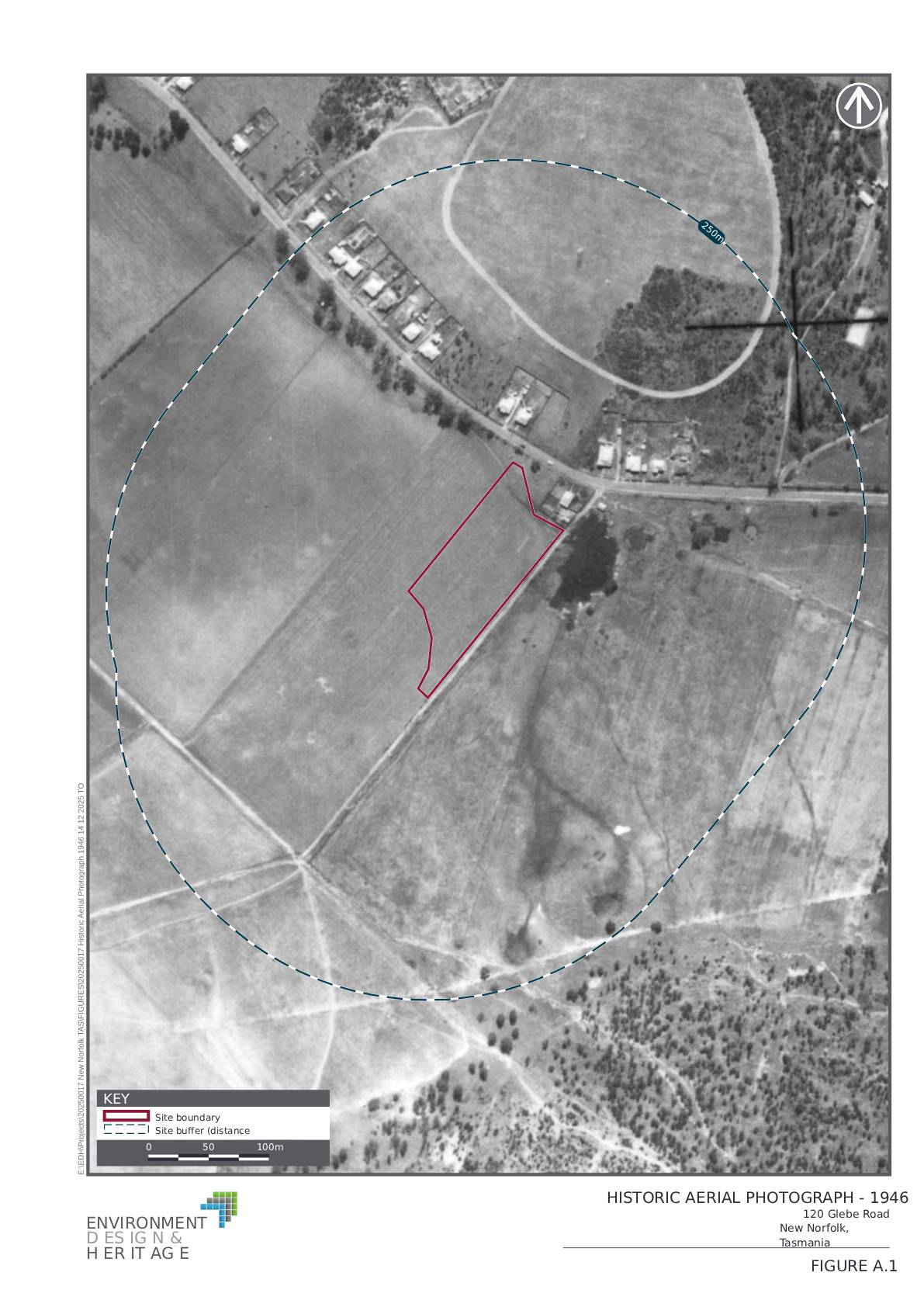
Historic imagery and mapping provide critical insight into how land has been used, altered and regulated over time — insight that is often essential for heritage assessment, planning approvals and environmental due diligence.
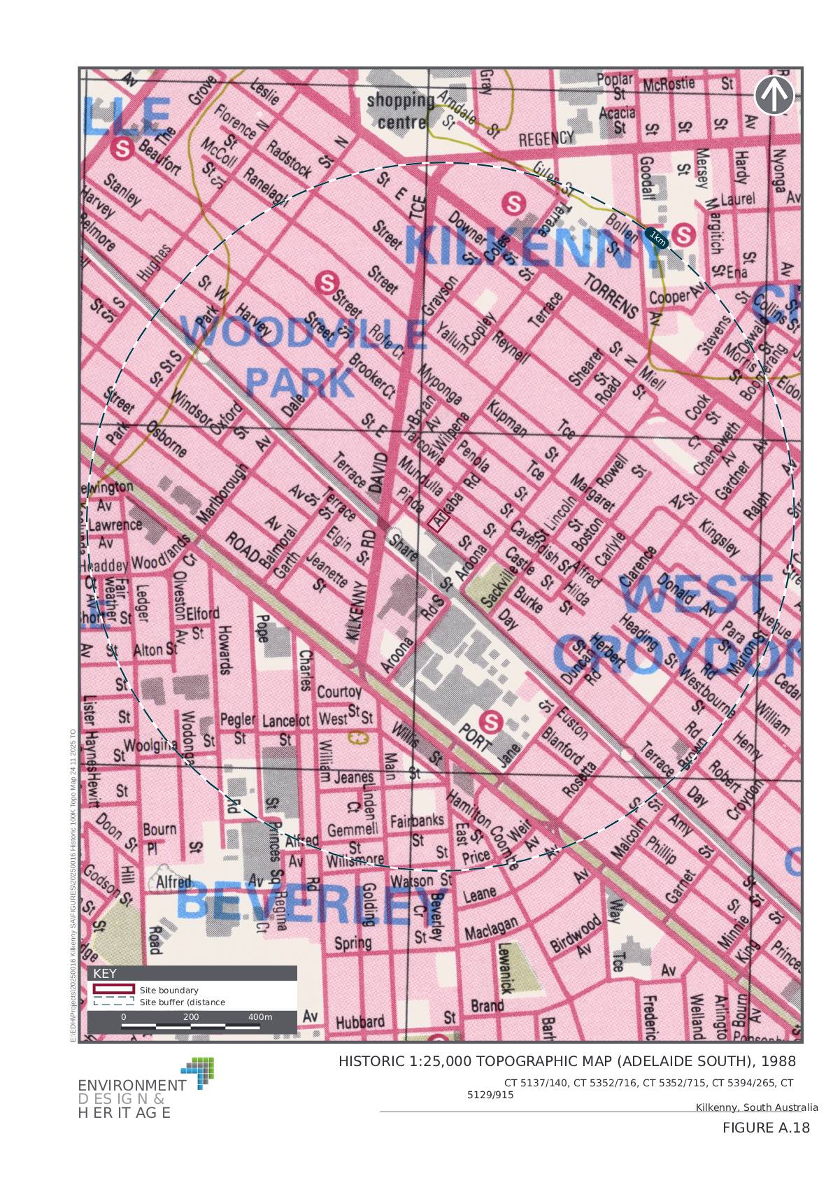
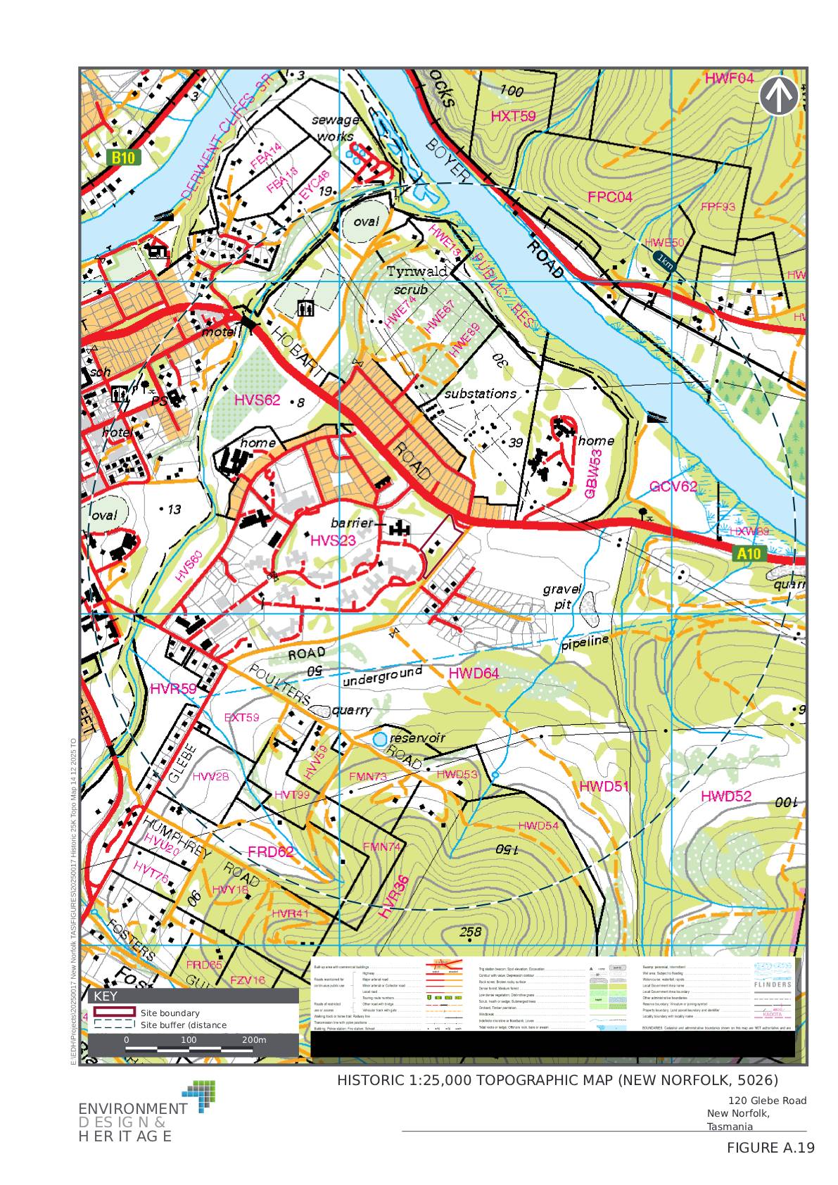
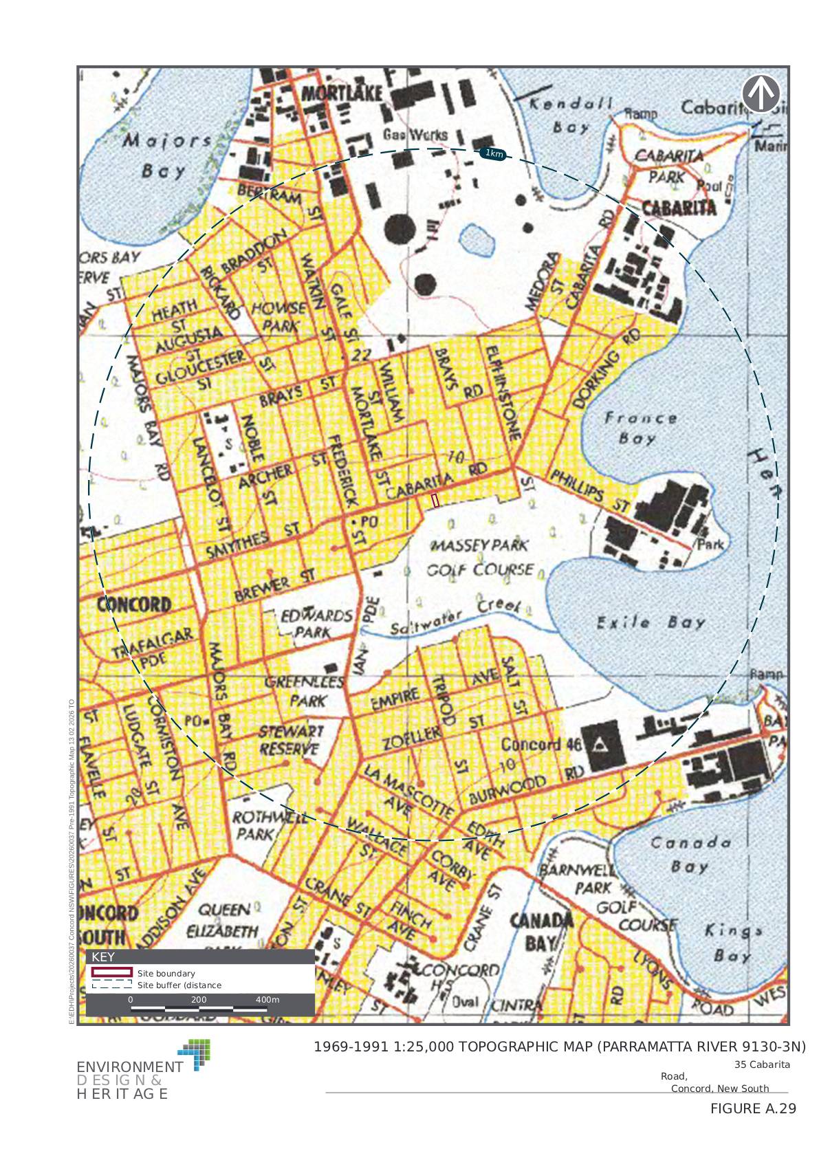
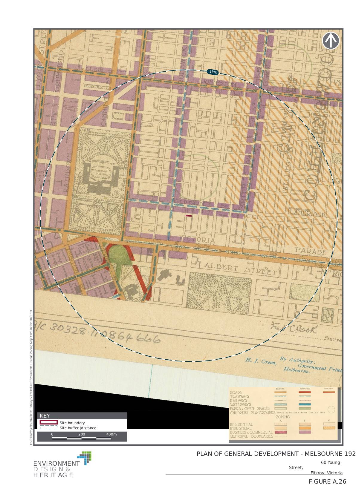
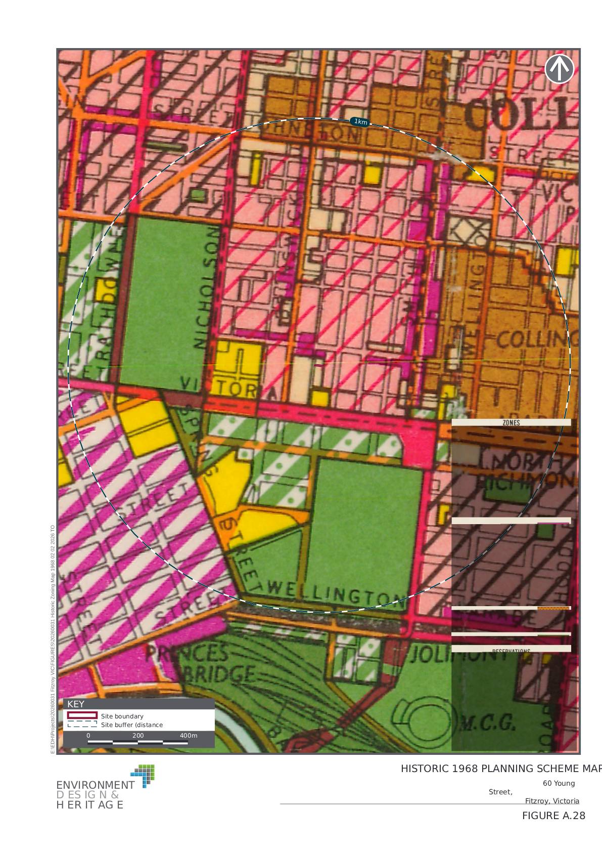
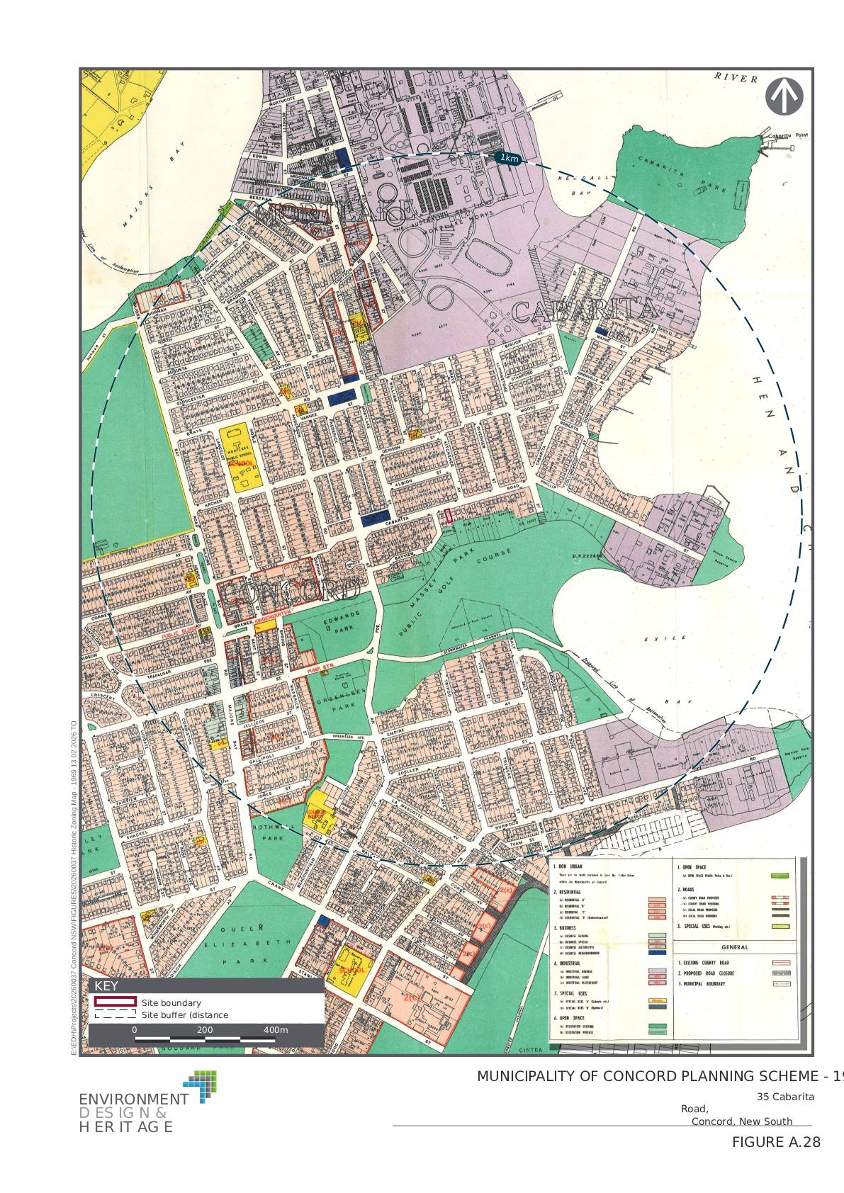
Environment Design & Heritage (EDH) specialises in the interpretation of historic aerial photography and mapping, including topographic and historic zoning maps, to help planners, consultants, lawyers and developers understand site history with clarity and confidence. By applying historic environmental intelligence in a clear, defensible manner, EDH supports informed decision-making where contemporary records are incomplete or silent.
EDH provides historic imagery and mapping analysis that supports:
- Heritage impact assessments and due diligence
- Planning approvals and rezoning applications
- Infrastructure and development projects
- Legal and statutory processes
- Environmental and contamination assessments
Our work is designed to integrate seamlessly into broader consultant, planning and advisory workflows.
Environment Design & Heritage (EDH) specialises in the interpretation of historic aerial photography and mapping to support heritage assessment, planning and due diligence processes.
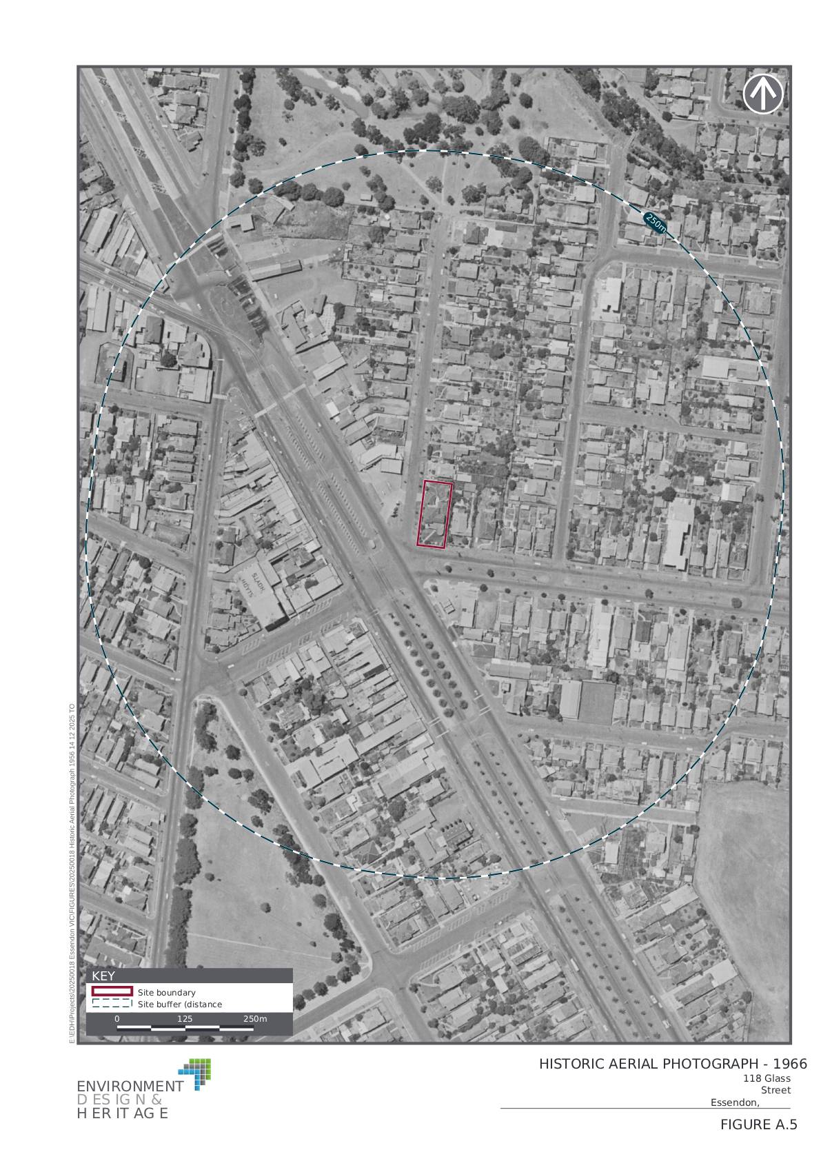
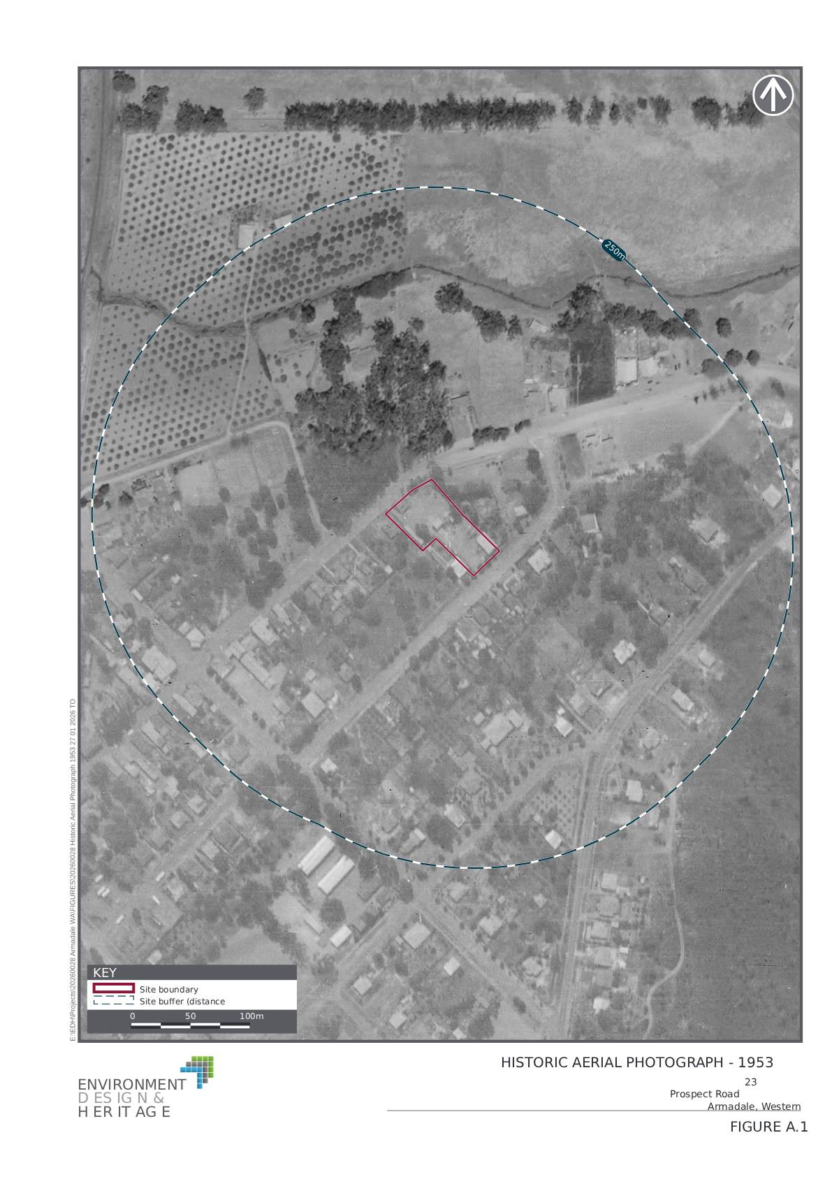
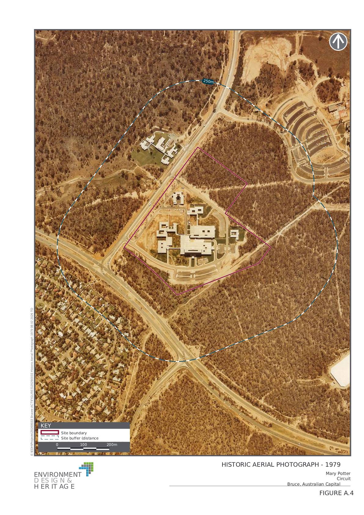
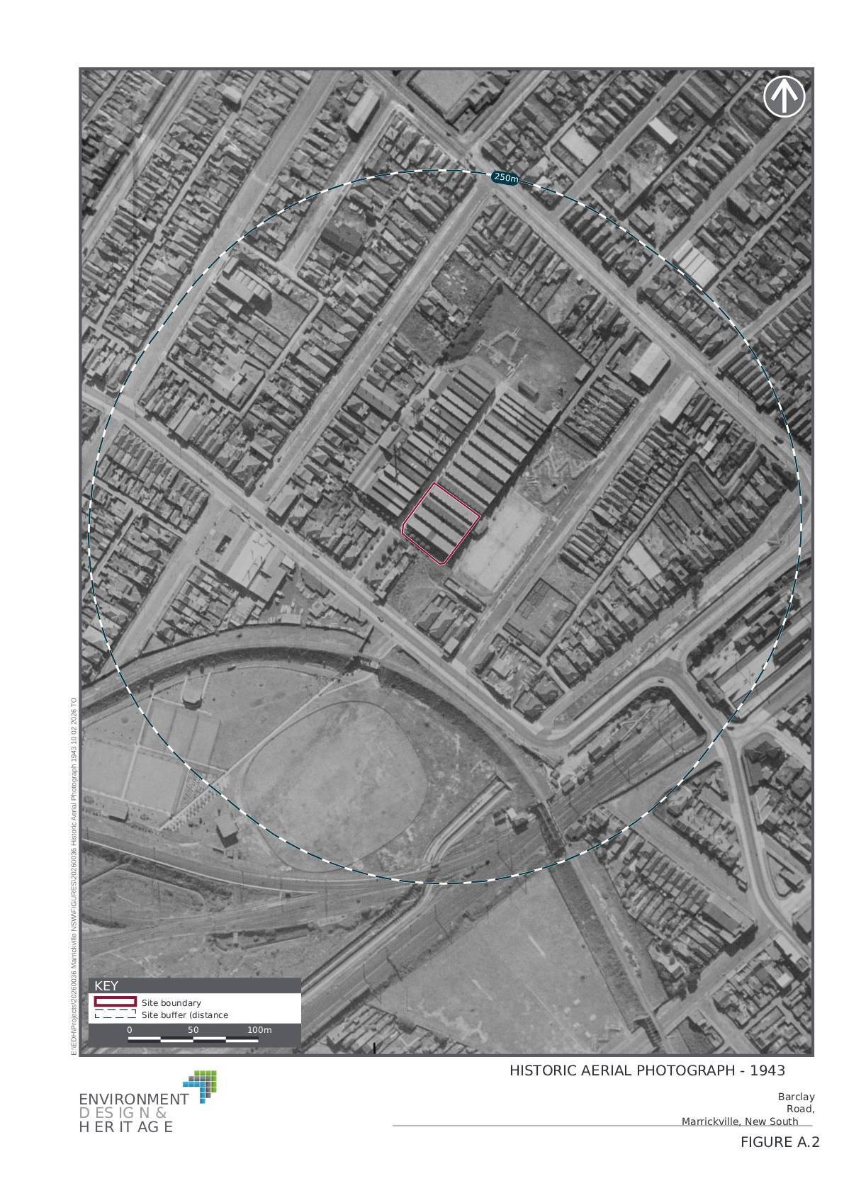
Click on any image for full slideshow
Click on any image for full slideshow
Click on any image for full slideshow